Last updated on August 12th 2016.
11. Earth Model Handling
LASIF has a very simple approach to handling Earth Models. The idea is to have one Earth model per iteration with ideally the same name as the iteration. LASIF does not yet perform any work with the Earth models, it merely offers an organized way of storing and visualizing them.
LASIF can directly deal with the models used in SES3D (that is, the
ready-to-go models with which a simulation is run). Each model has to
be placed in a subfolder of MODELS. The folder name will again be used to
identify the model.
For the tutorial, we will work with two models: one based on PREM which we
will use as the initial model and one with a perturbation which will be
considered the true model for the tutorial. Download both models
here and place them in the
MODELS folder.
Note
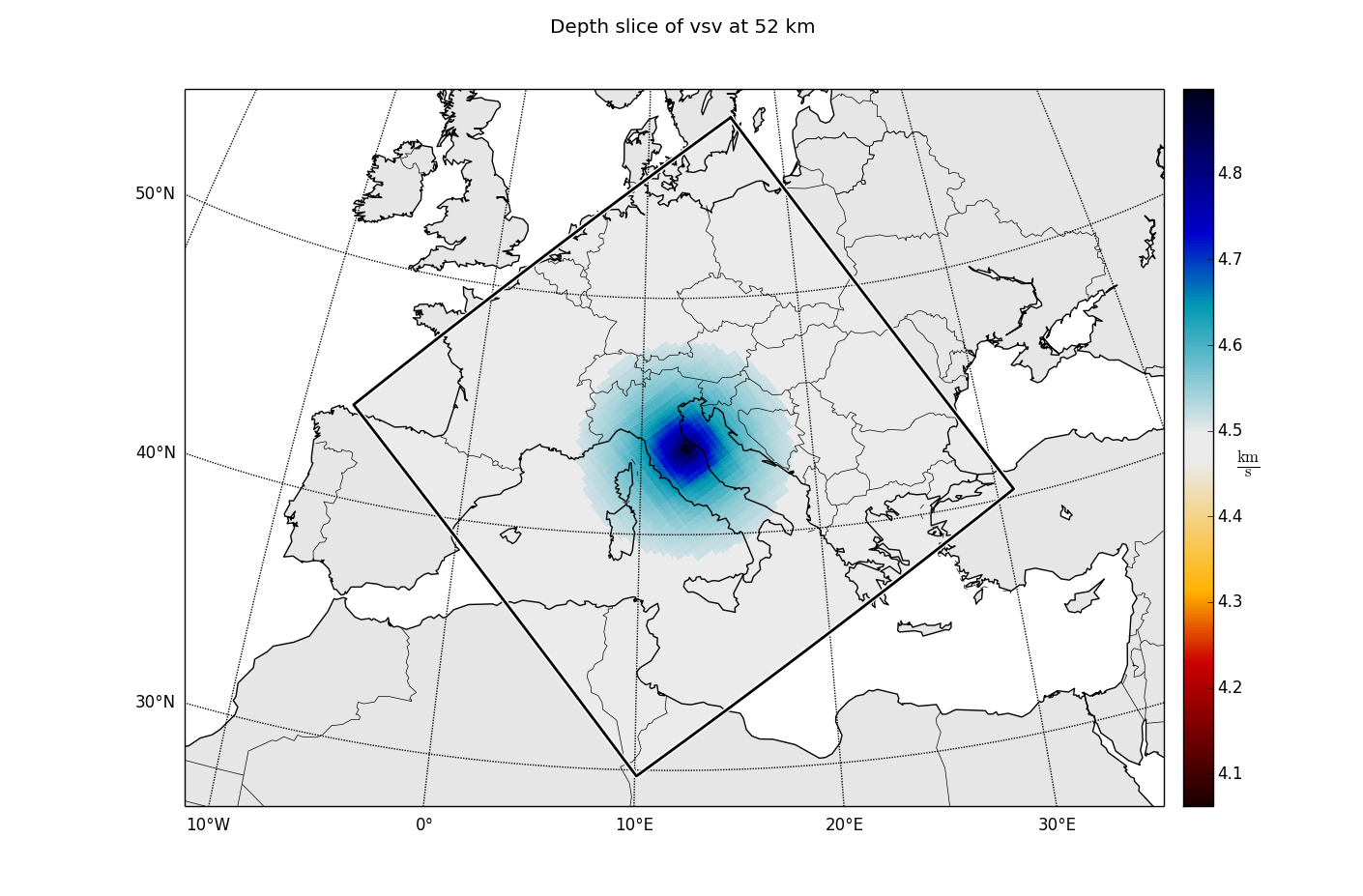
The true synthetic model is PREM with a small positive Gaussian anomaly in the center (latitude=longitude=0) at a depth of 70 km applied to the P and both S-wave velocities. The amplitude of the anomaly is 0.3 km/s with the sigma being 200 km in horizontal and 50 km in the vertical direction.
Now you are able to use the list_models commands.
$ lasif list_models

2 model in project:
    Iteration_1
    True_Model
LASIF has some functionality to view the models. To save a model slice to file,
use the plot_model command together with the model name and some
identifying parameters.
$ lasif plot_model True_Model 50 vsv -
This will pop open a window. If you want to save the image to a file, just
replace - with a filename.
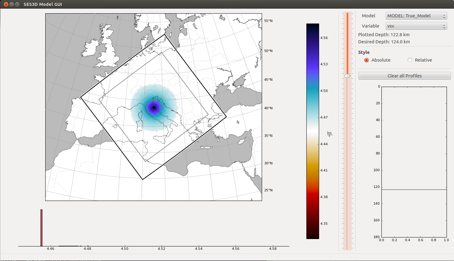
Another option is to use
$ lasif launch_model_gui
This opens a more interactive viewer in which the user can choose which model to look at, walk through the different depth levels, and explore different (derived) components:
When running the numerical simulations, the user is responsible to choose and copy the correct earth model file.